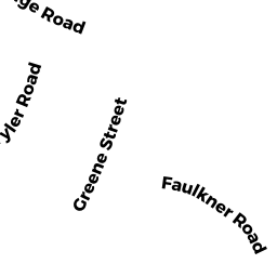
19 TYLER ROAD
Owner Information
DUGAN FAMILY REVOCABLE TRUST
19 TYLER ROAD
NORTH ANDOVER, MA 01845


Property Details
19 TYLER ROAD is classified as a Single Family Residential (Cape).
The primary structure on this property was built in 1950. There are 2,158ft2 of built area within this property. There is 2,158ft2 of residential/living space within this property. This property is listed as having 7 rooms.
19 TYLER ROAD is valued at $453,200. The land is valued at $220,900 and the structures are valued at $220,100. There is an additional valuation of $12,200 on this property.
This property is in Zone R4. Confirm with local Zoning Board authorities to ensure there are no overlays or other easements on this property.
The most recent deed for 19 TYLER ROAD is recorded at the local registrar in Book 15500, Page 112. 19 TYLER ROAD was last sold on Monday, June 4, 2018 for $100.
Assessment data from fiscal year 2022.
Flood Data
According to the FEMA National Flood Hazard Layer, this property does not appear to be in a flood zone. It may also be in an area not yet reviewed. Nonetheless, confirm this information prior to taking any action.
To view the flood hazards around this property, create a FEMA "Firmette" Map of the area around 19 TYLER ROAD.
Broadband Internet Providers
| Provider | Type | Bandwidth (mbps) | |
|---|---|---|---|
| Verizon New England Inc. | Fiber | 940 | 880 |
| VSAT Systems, LLC. | Satellite | 2 | 1 |
| HughesNet | Satellite | 25 | 3 |
| GCI Communication Corp. | Satellite | 0 | 0 |
| T-Mobile | Fixed Wireless | 25 | 3 |
| Comcast | Cable | 1000 | 35 |
| Viasat Inc | Satellite | 100 | 3 |
Broadband service provider data from December 2020.
Adjacent Properties
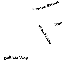
- 113 GREENE STREET
Single Family Residential owned by BONES, CATHERINE E. - 105 GREENE STREET
Single Family Residential owned by HARRINGTON, PATRICIA A - 11 TYLER ROAD
Single Family Residential owned by EICHLER, JANET TRUSTEE - 27 TYLER ROAD
Single Family Residential owned by CASWELL, ROSS T - 95 GREENE STREET
Single Family Residential owned by MORESCHI, ANTHONY T